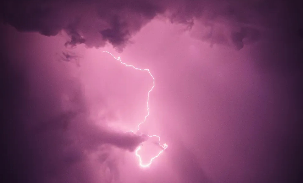
thunder at nainital

monstrous hailstorm at nainital on 11th may 1855

thunder in the nainital skies, 2025. photo courtesy of @glacialeyes source: extract from transactions of the bombay geographical society 12 (1856), pp. 25–26. editor’s note: this particular account is hilarious and horrifying at the same time. barometer readings and dry-bulb temperatures appear alongside scenes of men and animals scrambling for shelter from the murderous hail. the author is seemingly unable to decide whether he is filing a meteorological report or talking about trauma. the prose is, in any case, vivid enough to make the distinction beside the point, a reminder that the visualization of natural phenomena was never confined to maps and diagrams but extended, here, into this chaotic narrative. paragraph breaks have been added for readability. original spelling, terminology, and punctuation have otherwise been retained. ...
June 21, 2026 · 6 min · casualpanic
nainital

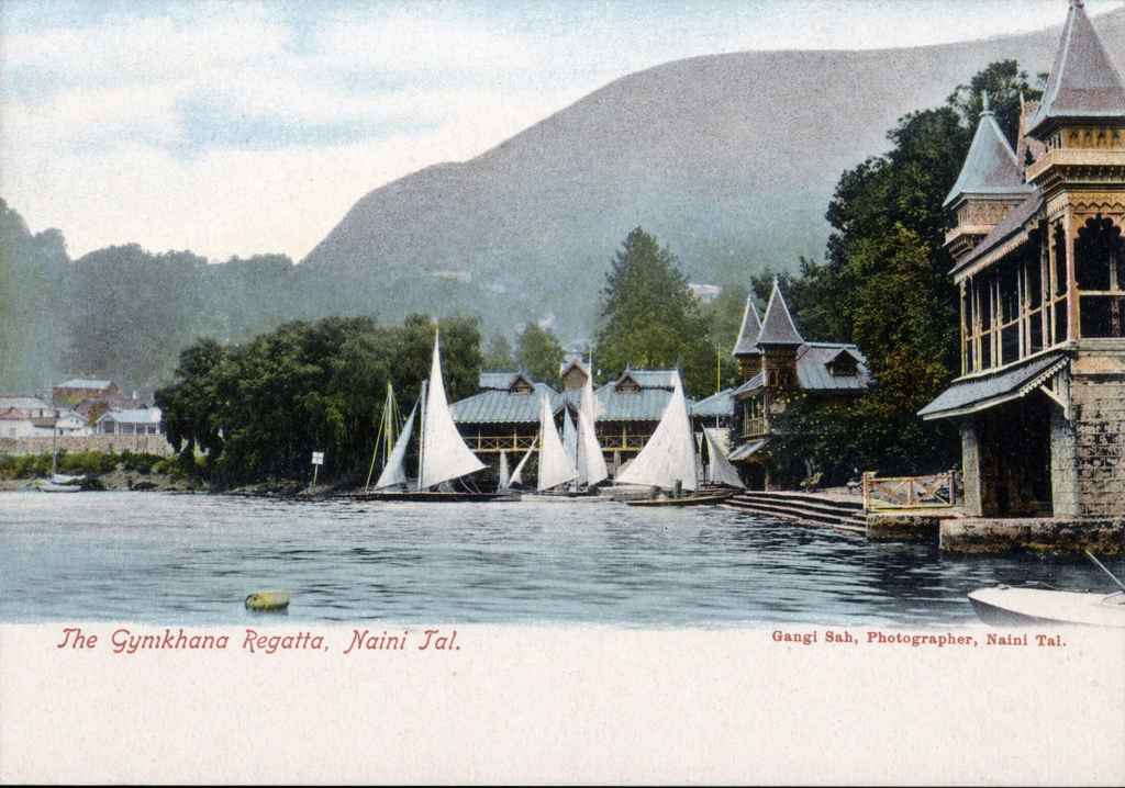
nainital: from discovery to a mountain laboratory

nainital is a hill station on the southern slopes of the kumaon himalaya, in present-day Uttarakhand, with Nepal to the east and Tibet to the north beyond the higher himalayan ranges. it is, at its simplest, a town organised around a lake in the mountains. established in the mid-nineteenth century as a british sanitarium, it lies at an elevation of roughly 6,300 feet above sea level. the lake itself sits within a steep, basin-like hollow, with ridges rising sharply on all sides so that the settlement appears held within the surrounding hills rather than spread across them. these slopes are dominated by banj and tilonj oak, alongside himalayan cypress and deodar, with a dense undergrowth that includes wild berberry, himalayan musk rose, common sage, and urtica parviflora—the notorious stinging nettle that thrives wherever it finds purchase. the kumaon region in which this landscape lies has, over time, fallen under different regimes of political control. ...

March 24, 2026 · 27 min · casualpanic
leh ladakh

making a case for historical climatology in ladakh

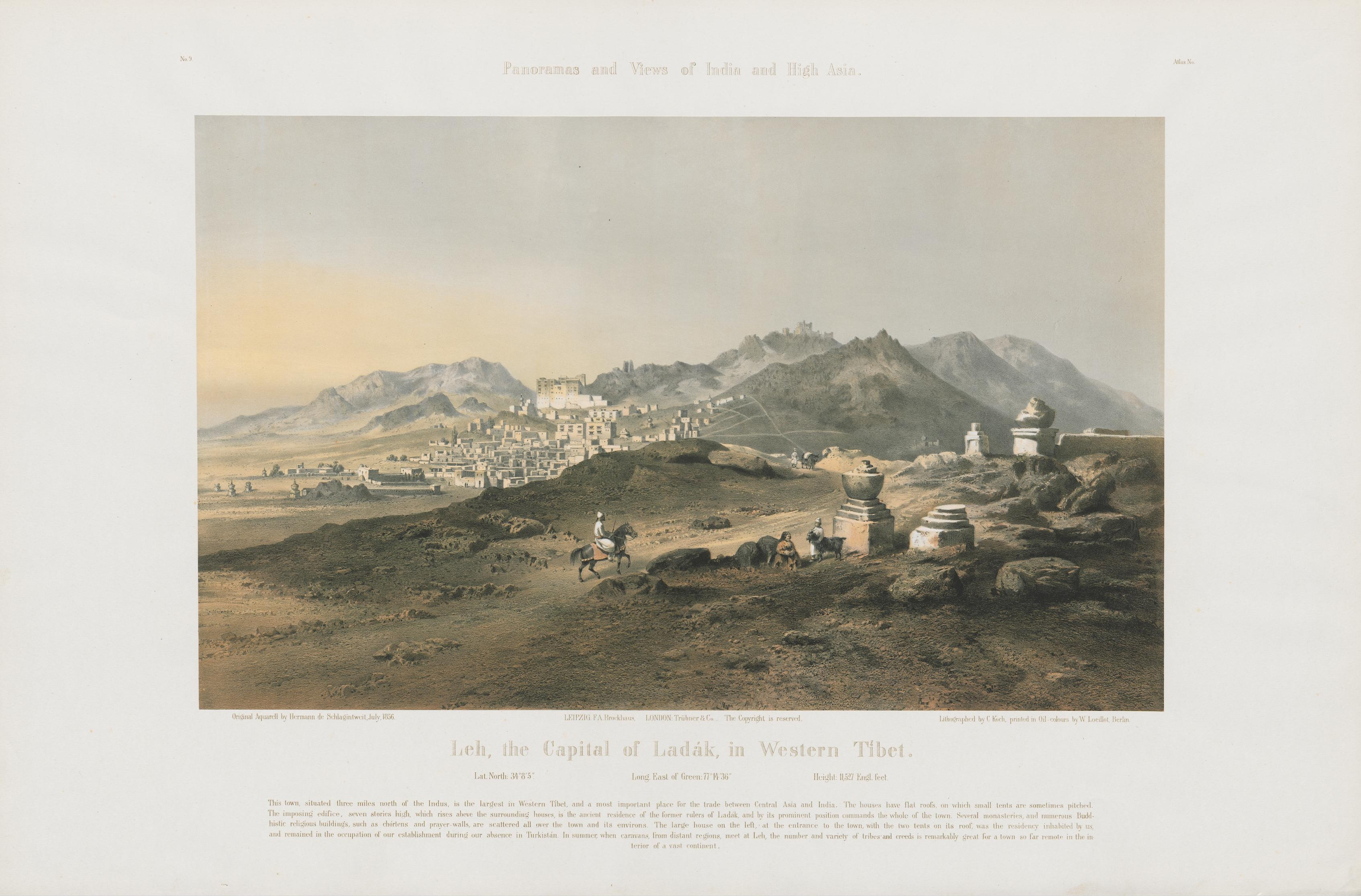
Ladakh lies in northern India at the edge of the Himalaya, between the Karakoram and Zanskar ranges, where the Indus River traverses broad valleys at elevations of 3,000 to 5,000 metres. Annual precipitation in this region rarely exceeds 100 mm; winters are severe, summers brief, and intense solar radiation results in a landscape, no matter how stunning, defined by water scarcity. Farming and herding communities, connected through trading networks that extended across Central Asia, Tibet, and the Indo-Gangetic Plain, have long adapted to these conditions through various means of glacial meltwater management. Melted snow, carried by rivulets known as kangs-chhu (“ice water”), converges into streams (togpo) that feed a hierarchy of channels: the ma-yur (mother channel) cut along mountain slopes, from which smaller canals (yu-ra) distribute water to fields. At successive diversion points (yurgo and ska), flow is carefully regulated, before being guided across fields through fine channels (snang). These systems, sometimes reinforced with clay-lined embankments or even hollowed poplar trunks (va-to) to bridge difficult terrain, reflect a highly adapted hydraulic landscape attuned to scarcity and seasonal variability (Angchok et al. 2014; Nüsser and Baghel 2016). ...

February 23, 2026 · 13 min · casualpanic
misty river

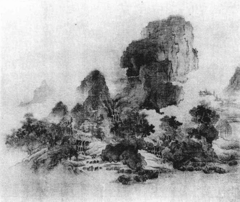
landscape in northern song painting

“in all my life i had not known the secrets of landscape, until one morning, [in exile] i arrived in it boldly, and was startled.” — wang shen (c. 1048–1104) wang shen was part of what scholars have called the ‘chinese literati,’ essentially a group of elite, learned men who were both politically entrenched and of great personal accomplishment (Bush 2012). wang descended from a long line of military generals, the progenitor of which is associated with the establishment of the Song dynasty itself (a synopsis of his life can be found here). despite his political prestige and artistic accomplishments, wang was exiled in 1080 from the court of the song emperor shenzong (c. 1048–1085), who was also his brother-in-law, amid the political climate shaped by contemporary politician Wang Anshi’s reforms (for context, see here). the translated extract of the poem above appears in art historian richard barnhart’s influential essay, in which he detects a “profound transformation” (Barnhart 1994, p. 195) in chinese landscape painting around the moment of wang’s banishment. interestingly, alfreda murck’s translation (2000, p. 136) does not include the phrase “in exile,” which barnhart introduces in square brackets, indicating it is an interpretive addition rather than part of the original text: ...

January 23, 2026 · 18 min · casualpanic
meerkat image

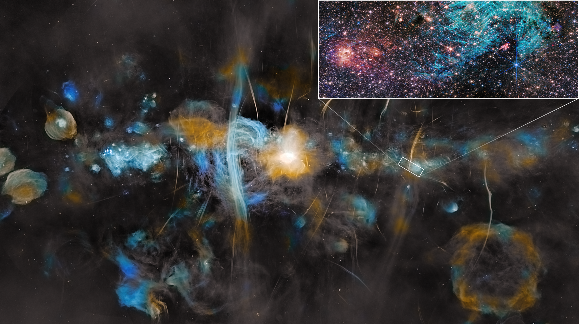
visualizing the cosmos across 40,000 years

about 40,000 years ago during the paleolithic period, humans started representing their worldly understanding through cave paintings. they depicted large animals, predators, human hunters, i.e., the observable phenomena of their immediate world, rendered in ochre and charcoal on stone surfaces (see Lenssen-Erz 2012). click to expand figure 1: paleolithic cave painting from manda guéli cave in the ennedi mountains, chad. humans depicting their observable world through ochre and charcoal, circa 38,000 BCE. ← → ✕ jump forward to the renaissance. Giovanni Di Paolo’s 1445 painting “the creation of the world and the expulsion from paradise” offers a different kind of visualization (see ciobanu and ungureanu 2015). it was not quite direct observation but more of their rather liberal cosmological imagination. nested spheres represent the heavens, earth sits at the center, celestial bodies arrange themselves in concentric orbits. this is a mix of theology and geometry, and all-in-all, a somehwhat pretty attempt to make divine order visible through prevailing artistic technique. ...

December 23, 2025 · 8 min · casualpanic