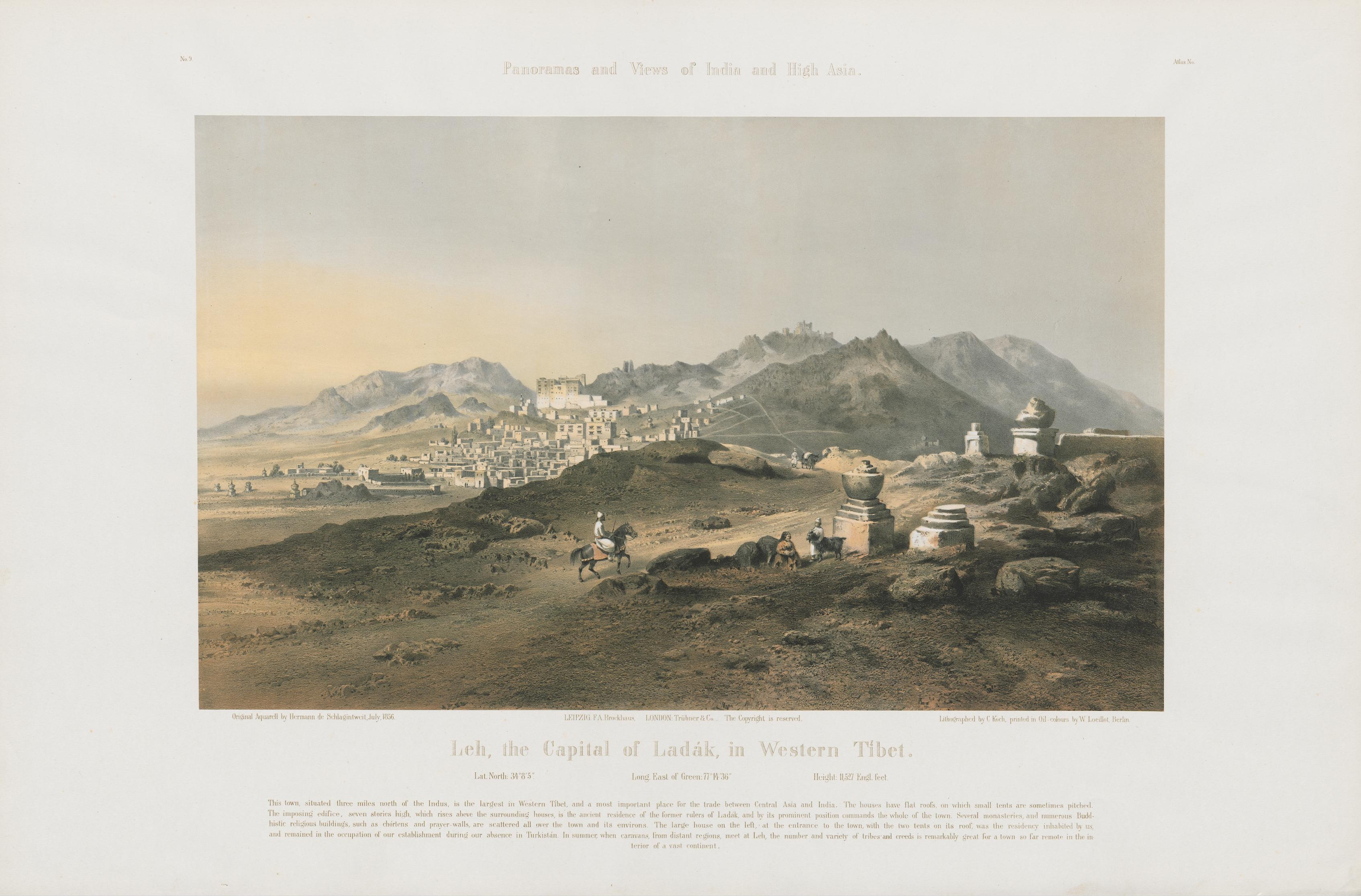
making a case for historical climatology in ladakh
Ladakh lies in northern India at the edge of the Himalaya, between the Karakoram and Zanskar ranges, where the Indus River traverses broad valleys at elevations of 3,000 to 5,000 metres. Annual precipitation in this region rarely exceeds 100 mm; winters are severe, summers brief, and intense solar radiation results in a landscape, no matter how stunning, defined by water scarcity. Farming and herding communities, connected through trading networks that extended across Central Asia, Tibet, and the Indo-Gangetic Plain, have long adapted to these conditions through various means of glacial meltwater management. Melted snow, carried by rivulets known as kangs-chhu (“ice water”), converges into streams (togpo) that feed a hierarchy of channels: the ma-yur (mother channel) cut along mountain slopes, from which smaller canals (yu-ra) distribute water to fields. At successive diversion points (yurgo and ska), flow is carefully regulated, before being guided across fields through fine channels (snang). These systems, sometimes reinforced with clay-lined embankments or even hollowed poplar trunks (va-to) to bridge difficult terrain, reflect a highly adapted hydraulic landscape attuned to scarcity and seasonal variability (Angchok et al. 2014; Nüsser and Baghel 2016). ...